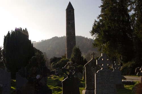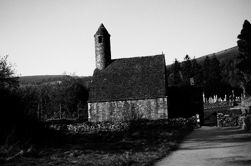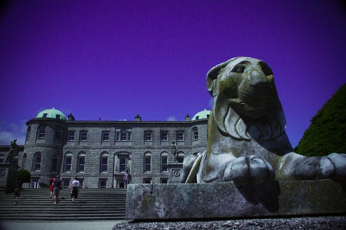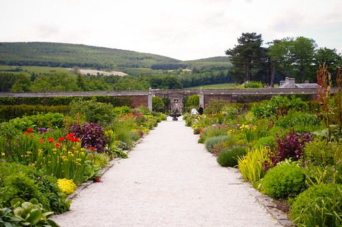
Back in July 2011, I went to the west coast of Ireland to do some site seeing. I stayed in a place called Salthill, just north of Galway (see previous post here). Where I was staying, it rained, and the weather wouldn’t co-operate. As a result, I decided that I was going to drive up through the beautiful Connemara and to Kylemore Abbey (more on that later).
The thing with driving in Ireland is that it’s not particularly difficult to physically drive on the opposite side of the car (it’s a Right hand – British – drive country) but it is different. You have to learn to look over your left shoulder when backing up, you have to learn to shift with your Left hand (instead of your Right) and you have to relearn your spacial location for where you are in relation to the car – and just where/how it fits on the road – so you can do things like parallel park. For me, every time I get behind the wheel I have to remind myself to drive on the British side of the road (old habits die hard) – and that the round-abouts go clockwise.
The above not-with-standing, the logistics of driving in Ireland is a unique challenge all its own. What do I mean by this? Well, keep in mind that the USA is generally a young country. What this means is that we built our roads and our businesses and our homes at the same time. As a result, the roads tend to be a bit wider (built for cars), a bit straighter, and there’s usually not a requirement to go some hour out of your way to come back an hour when there’s a detour involved. You can just cut up a couple blocks and there’s a paralleling road to get past the construction site. In most places in the US (unless you’re in a very rural place) a GPS is a luxury – it simply supplements the easy to read, high contrast reflective road signs that are posted at nearly every intersection (or every few miles on a long road) – so actually finding your way about is fairly easy.
In Ireland, though, the places were built, and the roads sprung up for foot traffic, horses, carriages and finally cars. Here, road signs, once you get off of the autobahns, are practically non-existent. Where there are roadsigns, they’re not really easy to read (light blue background with white text). They don’t say which direction the road is going (as in N/S or E/W) – only the next town – or sometimes multiple towns pointed lefty/righty/lefty/righty/straight ahead/ back behind you/ another 3 to the right/2 to the left / eat at Bob’s / shop at Fred’s discount … – piled up one on top of each other randomly on a post starting some 6-8 foot high and going to maybe knee height. As a car driver, this monumental pile of signs is nearly impossible for you to read all of in the few seconds you’re trying to approach and drive past it (while trying to drive, pay attention to traffic, and enjoy having some local yahoo behind you crawling up your bumper). Also, once out of the city, the road signs become overgrown, faded, damaged, and often only posted at a T junction so the stopped traffic (not the traffic paralleling the sign) can see it. Because of this challenge, a GPS is a practical necessity for a car – and sometimes even the GPS doesn’t know where the crap you are. (recalculating… recalculating… recalculating..)
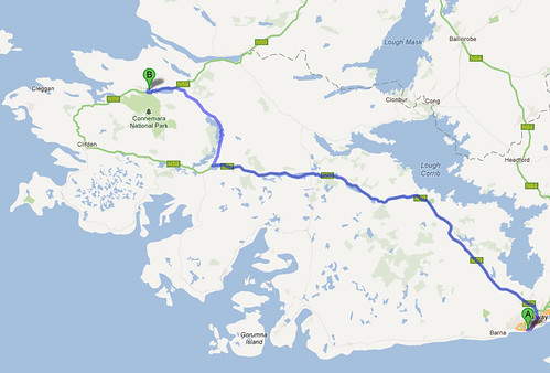
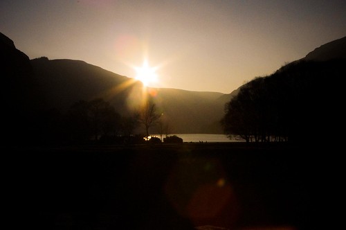
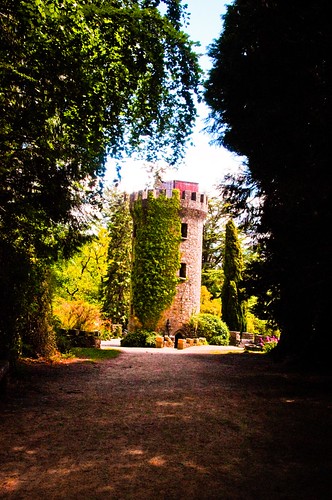
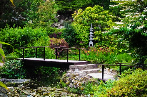
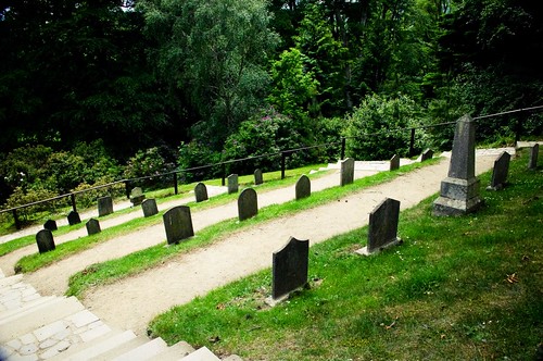
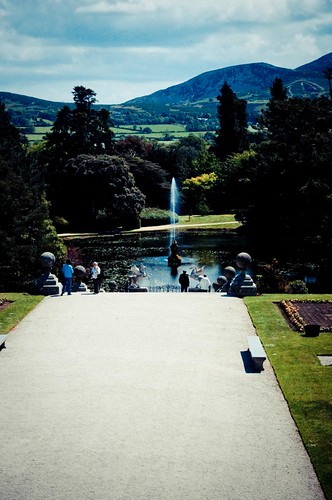
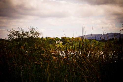
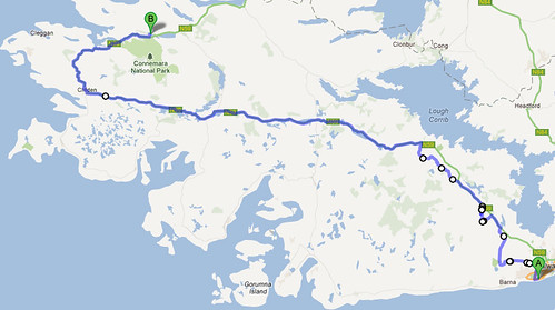
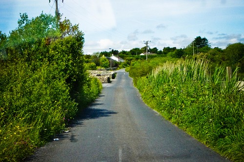
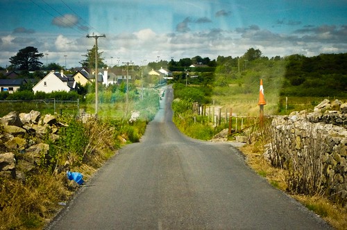
Ok so where am I going with this post? Well, the trip to Connemara / Kylemore Abbey. When I left Salthill, I spiraled my way out of town and hit the N59 which should take me straight to Kylemore Abbey, driving through the rural areas of Connemara. Connemara is one of the last places that they speak Irish (Galic) as their main dialect (English is secondary) and has mountains and moors, and is one of the most beautiful landscapes on the west coast. I was looking forward to the drive on the main two lane road over the next hour or so. What I didn’t know, however, is that there was road construction on the N59, and that the result would be a detour down single lane roads that were barely as wide as the car – and so overgrown that at times the branches were scraping the sides of my little Fiat Punto. Above you can see the route I was supposed to take – 1 hour and 10 minutes. Below, you can see the route that took a little over 3 hours.. and for which the GPS was almost completely useless because I was driving on roads that simply weren’t on the map!:
The laughable thing about this is that while it was beautiful, it was also nerve racking. The roads were so narrow and hilly that you couldn’t go very fast, nor could you see if there was oncoming traffic in many instances. I mentioned the roads were narrow – and I’m not kidding. When you had to pass someone, you had to pull into someone’s driveway – and wait for the other person to pass. And – in some cases, you had to reverse back to the next “closest” driveway to allow this to happen.
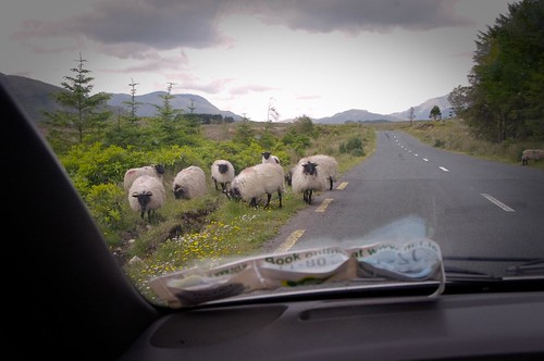
At some points there were houses, but mostly, it felt like you were driving in the back country – complete with rush hour sheep blocking the road. Oh – and for the record – no matter if you honk or not, if the first sheep isn’t moving – the rest aren’t either.
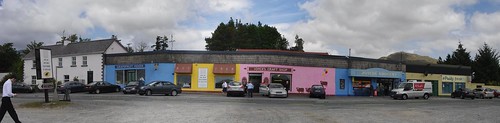
By the time I made it to the very rural James Joyce gift shop in Connemara (below) I was ready to get out of the car and take a break.
More to come…