Went to the city today for a massage. On the way back, the weather was fabulous, and I had a front row seat on the 39 Bus. So, as we moved through the city, I decided to take a few pictures and share part of the interesting architecture seen as we move through the city of Dublin.
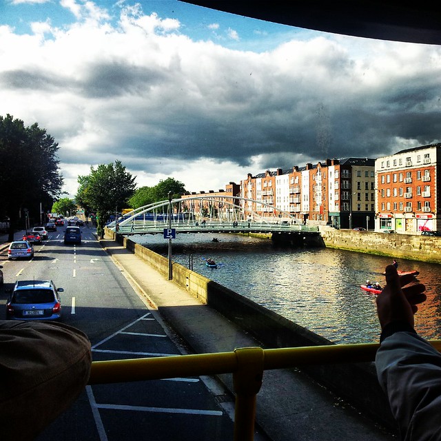
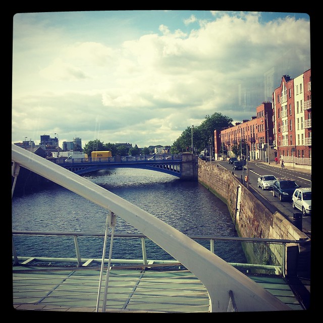
I got on the bus along the quays, at the stop along Wood Quay. The stop is quite close to the location where an old Viking boat was found. There’s an iron monument here which is rather an abstract shape of a serpent headed boat – with seats inside for those waiting on the buses. There was a man at the stop who was from Australia – and we had a nice chat about his visit to Dublin after he asked me about which buses go where. I get that a lot – people asking me for directions or bus stops – I guess I must look like I know where I’m going? Anyhow, the bus goes from here along the Quays (pronounced “Keys”) until you turn Right onto Church street to cross the River Liffey (below).
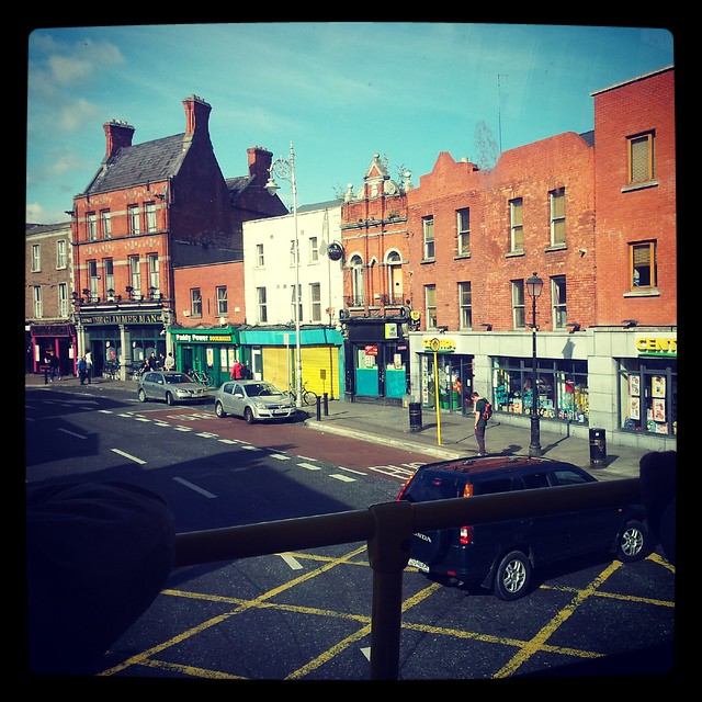
From here, the bus passes the law school on the left. As you continue heading out of the city to the north, you eventually pass a Centra grocery store and some interesting buildings. The one that looks out of place on the far left below is The Glimmer Man pub. I’ve never been inside, but I like the building – it’s very traditional looking.
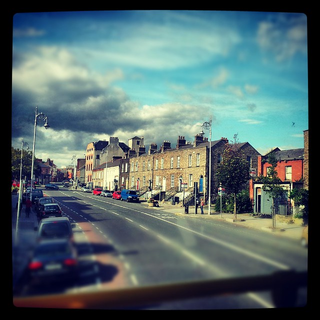
Now, we move up into Manor Street. Along here are some red brick terrace style Victorian style houses inter-spaced by Georgian style houses. The area is mixed, and Smithfield is just a few blocks away. Smithfield has several modern buildings – and here there’s a horse market held – though I’m not sure about the trading that goes on here (I hear it’s sort of dodgy but I’ve never been to say if that’s the case or not). Below are a few of the grey stone Georgian houses that come up as Manor Street merges into Prussia Street.
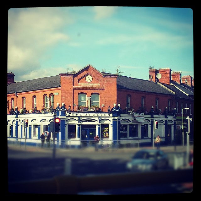
At the end of Prussia street, there’s a beautiful old turn of the 19th century hardware store. It’s John J Hanlon’s and the outside is always well painted. I love the arched windows and the clock at the top. I’m not sure what the building started life as (maybe a grocery?)but it takes up nearly a full city block.
From here, we continue up to Old Cabra Road. Along Old Cabra Road, there’s a series of old side by side cottages. There’s nothing too special about them, but one I have been watching for the last year is along a line of cottages called the “Roosevelt cottages”. It started out when I first moved to Dublin looking rather derelict. Since then, someone has bought the property and put lots of work into it – adding everything from a good lick of paint to gingerbread detailing and a new front door. They’ve added a little fence and – despite having no rear garden and only being located on a walking path (the cars are parked in an alleyway at the top of the cottages) – added to their land. You see, the land is across the “walking path street” and they’ve put in a beautiful brick patio and some lovely gardens.

After passing this house, the architecture becomes more mundane and the bus trip becomes boring. The road widens and the houses become bigger and more modern. Then, we go around the Ashtown roundabout (which heads into the Phoenix Park) and up onto the N3 highway toward Blanchardstown… until I hop off in the village.