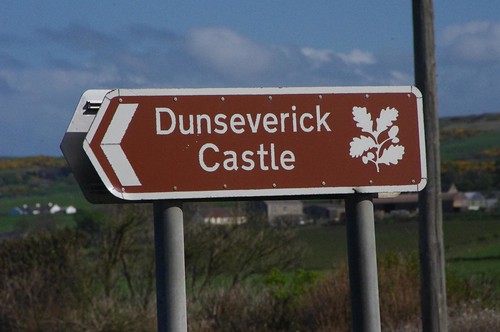
This way to Dunsverick Castle
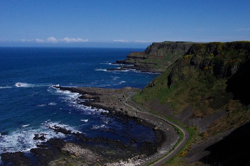
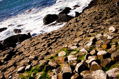
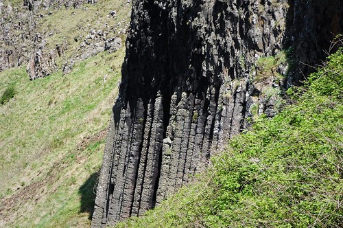
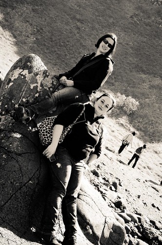
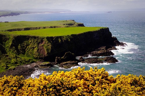
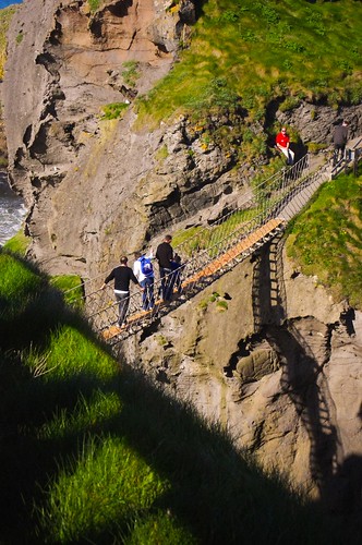
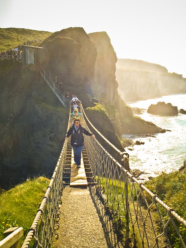
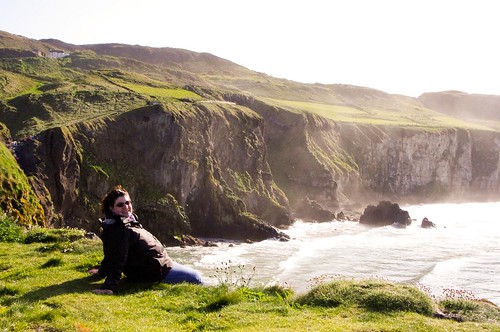
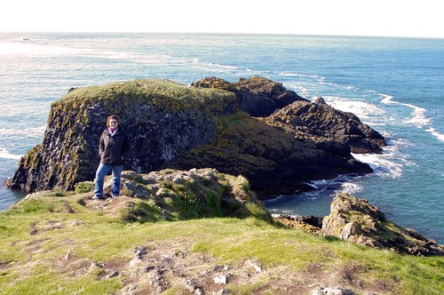
Last April, I took a beautiful day trip excursion to the Giant’s Causeway with my friend Jacqui and her long time friend, Liz to see the coast of Northern Ireland. I happened to have a map with us (let’s just say we had an adventure in getting there because the GPS ran out of battery) and we ended up taking the scenic route on the way up. One there, we saw the Giant’s Causeway, and decided to pause for the other very close by sites. I would have to say that the most unimpressive site was the castle ruins at Dunsverick Castle.
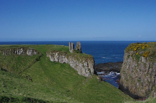
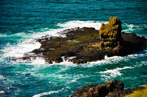
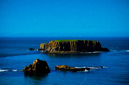
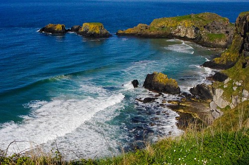
Basically, this castle was built originally sometime around 1525 BC. Surrounded by the ocean on three sides,Dunseverick was a key ancient site in Ireland, one of the royal roads from Tara, seat of the Kings of Ireland ended here. The site was originally founded by Sobairce, one of the Kings who built a fortress here to rule the ancient Kingdom of Dariada, the location is named after him – Dunsobairce (Fortress of Sobairce) now Dunseverick. Around 500 AD, St. Patrick visited the location, and around 900 AD, the Vikings are said to have raided the fortress extensively. Sometime around the 1500’s AD, a small fortress with round tower was built on the spit of land, and these are the remains that are there today. (There are also sheep, who apparently are great climbers down one steep drop and up to the top of that spit of land…)
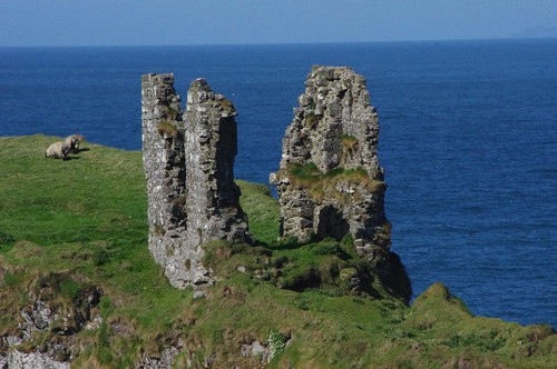
All that remains of a once impressive fortress… time and tide wait for no man…
You can see more photos on the Giant’s Causeway flickr set here.