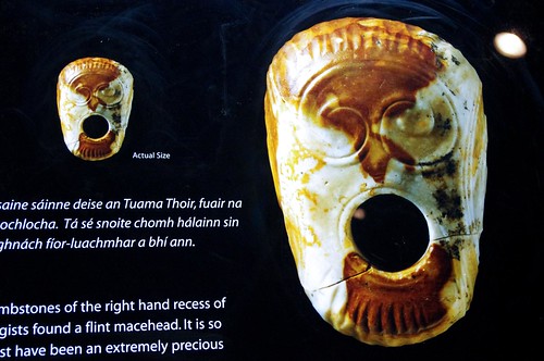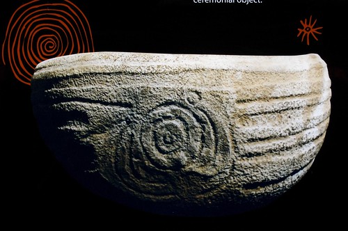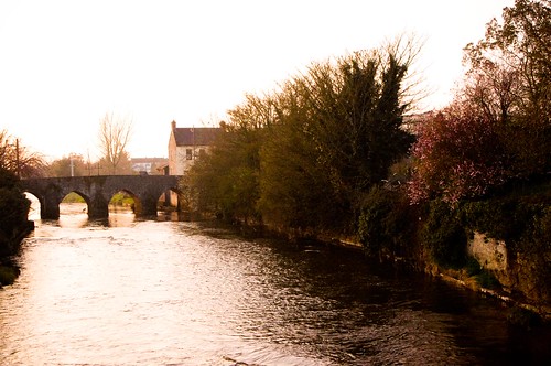
Up in the Boyne Valley, about an hour North of where I live in Dublin, is a place that has been inhabited for thousands of years. It’s known as the Boyne Valley. It’s mostly small farming communities filled with sheep and horses, and encompasses parts of two counties – Meath and Louth. I’ve already posted about the Hill of Tara, which is located here, and also the Hill of Slane, and the tombs at New Grange and Knowth.
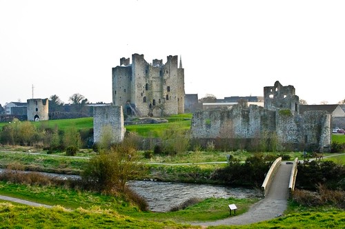
Today’s post is about another really cool place up in the Valley, Called Trim Castle. It’s the largest Norman Castle in Ireland and the lands here were granted by King Henry II of England in 1172 to Hugh De Lacy. The castle site was chosen because it is on raised ground which overlooks a local crossing point on the River Boyne. The castle was an important early medieval ecclesiastical and royal site, and although the site is about 25 miles from the Irish Sea, it was easily reached from the sea using a boat up the river.
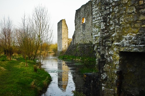
Originally, the castle was built as a ring fortress out of wood and earth with a double pallisade. Hugh De Lacy was attacked in 1173, and after the fort was burnt by the Irish, he resolved to rebuild – this time in stone. Construction on the stone fortress was started almost immediately, and for the next 32 years the main fortress was created. It was finished by Hugh’s Son Walter in 1204. It was later updated during the end of the 1400/1500’s when a new great hall and stables were added to the keep.
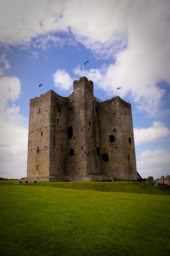
(Main Cross shaped Keep)
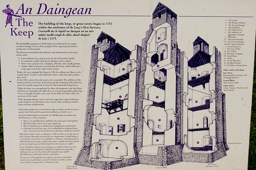
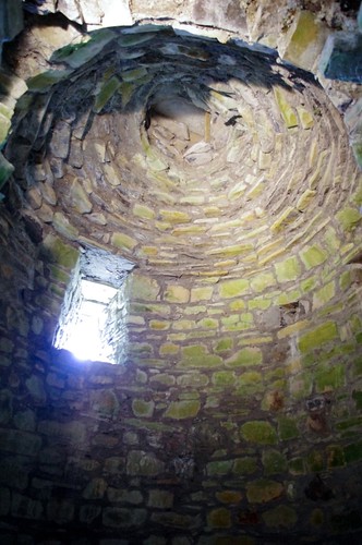
The main feature of the structure – the keep is quite unique. It has a central 3 story building (above) shaped like a cross with 20 corners. It was built in 3 stages, with a main hall on the “bottom” floor. Each of the corners has narrow spiral staircases, and in the top most rooms there is a toilet for the lord of the manor (the shoot goes outside) where he once hung his clothes for “airing out” and a beehive roof chapel.
There are also several guard houses built into the curtain walls, which were built in 3 different time periods. The west and north sides of the fortress have rectangular towers that date to 1170s -1190’s and the remaining wall at the south with its round towers dates to the first decade of the 1400’s. There were two main gates into the castle. At the west side dates to the 1170s and sits on top of s a demolished wooden gateway. The upper stories of the stone tower were altered to a semi octagonal shape c. 1200AD. A single round towered gate with an external barbican tower lies in the south wall and is known as the Dublin Gate. It dates from the 1190s.
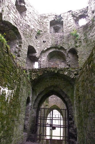
(The Dublin Gate)
During the late Middle Ages, Trim Castle was the centre of administration for the County Meath and marked the outer northern boundary of English Control. In the 1600’s, the Irish Parliament met here several times, but by the 1700 / 1800’s the castle had declined in importance, except as a potentially important military site, and the castle was allowed to deteriorate significantly. It fell into decline in the 16th century but was refortified during the Cromwellian wars in the 1640s. The castle was sold in 1993 to the Irish National Trust, along with the surrounding land. The Office of Public Works now owns and administers the building (after a 6 million euro refurbishment) and opened it to the public in 2000.
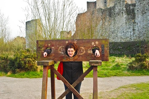
For more pictures of the castle (and some of the sign posts) please see my flickr site here.
Oh – one other side note – if the castle looks familar to you, there’s a reason – it was the castle used in the movie Braveheart. If you go across the street to the Pub, there’s a ton of movie memorabilia inside – and a great old guy who spends his days at the pub, talking (and joking) with all the tourists who visit.


