(The Hill of Tara with Stone of Destiny in the Distance)
Over the last few months, I’ve been very busy and had some great friends and family over to visit me here in Ireland. This has resulted in me doing some touristy stuff (I bought a little 700 euro car) and exploring Ireland near where I live. In the last month and a half, I’ve been to the Hill of Tara twice, and might I just say it’s well worth a visit – especially because it’s free admission and what I would call an endangered site because people just roam all over it.
(ground level view)
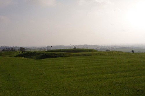
From Far away, the Hill of Tara doesn’t look like much. If you didn’t know it was there, other than a brown sign on the side of the road saying “Hill of Tara” with an arrow to the exit, you’d not know it was there. The entire thing is located off the new M3 motorway (controversial because they didn’t do any archaeology before putting the new traffic lanes only a couple miles from the structure), then down a narrow 1.5 car lane wide country road lined with shoulder high rock walls. When you get there, there’s a line of cars parked on the side of the road (tight squeeze to get past them), a 20 car parking area, and at a tiny pub and a tourist office at the end. The majority of local inhabitants are sheep, cows, and horses – and a handful of locals trying to make a buck to support the local economy. Getting out of the car, You have to walk up a blue gravel pathway and through a cow gate and then around and/or over several steep random mounds.
(The great banqueting long hall remains)
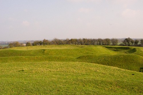
Essentially, It’s a huge green pasture with what looks like lumps and bumps of unplowed and overgrown mounds that are great fun for the kids to play on (running up and down, racing dirt bikes, and so on). To the un-knowing these mounds look almost like someone took a bulldozer and some dump trucks and piled up dirt for some sort of construction site that was never completed.
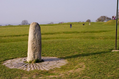
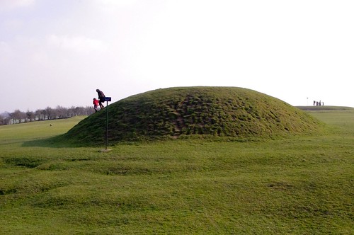
(The Stone of Destiny on the top of the Royal Seat “mound”)
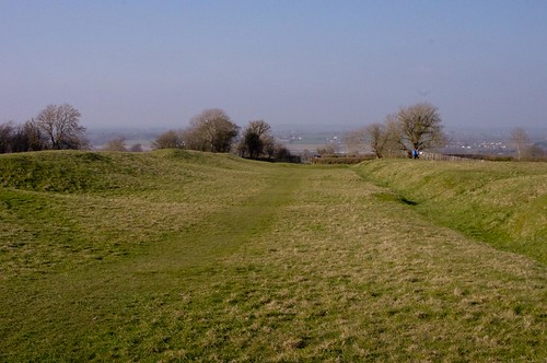
To those in the know, you can see the remains of a long storied Irish history. When viewed from above, you can see that the mounds make two giant “ring forts” for protection, along with one extremely long single halled building used primarily for banqueting. It was from this site that the Iron Age (500 AD) Celtic kings of Ireland ruled their domain for over 1000 years. It was a place not only of celebration of the Celtic religion but also assembly place and burial place for over 140 ancient kings. There are over 30 monuments on the site itself and most date over a period of 4000 years – between 3500 BC – around 700 AD.
(Mound of the Hostages – outside)
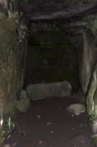
(Mound of the Hostages – inside through the barred gate)
According to Legend, this the home to the Celtic Goddess Maeve (kings here had to drink spiced ale and symbolically marry her to gain the king ship) and possesses not just one but Two Fairy trees (where one comes to communicate and present offerings to the fairies), but also here was the place that St. Patrick (the patron saint of Ireland) had his victory over the Celtic King Laoghaire in the 5th Century.
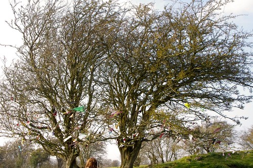
(Two Fairy Trees decorated with offerings and wishes)
Because of the forced conversion of the populace to Christianity, there is, naturally, a Church with old cemetery overlapping part of these ancient Ring Ruins. The church, naturally, is named St. Patricks, and is now dis-used.
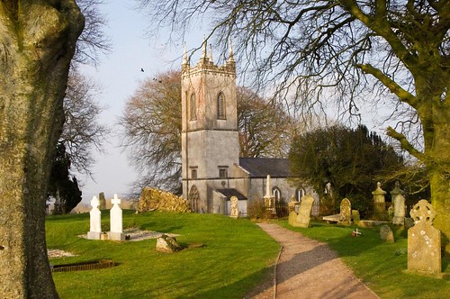
(St. Patrick’s Church on the Hill of Tara)
I have to say that I really enjoyed my time exploring this historic site where thousands of years of Irish history cross – from the ancients, to the Celts, to the Christians digging into sacred Pagan ground to bury their dead. It really makes one pause and think about beliefs and preservation – and even more so when you see children playing and sheep grazing on this once holy site. But, as one day sets, another begins – and time moves on for us – and yet stands still at Tara.
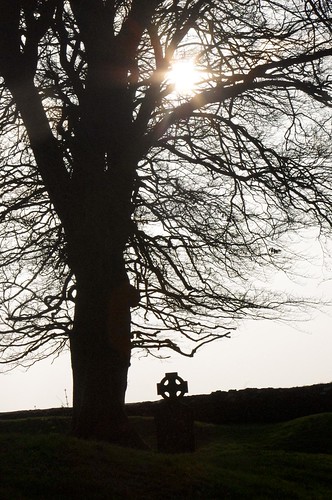
(St. Patrick’s Cemetery with Celtic style Cross and the edge of the mounds at the Hill of Tara)
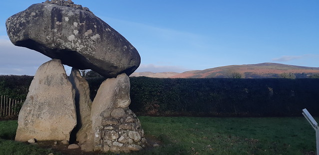 In part 1, I took you around the Proleek Wedge tomb and told of the Irish legend that surrounds it.


